

UPDATE: Winter storm warning issued
As much as 4-8 inches is expected to fall across the region before skies clear Saturday night
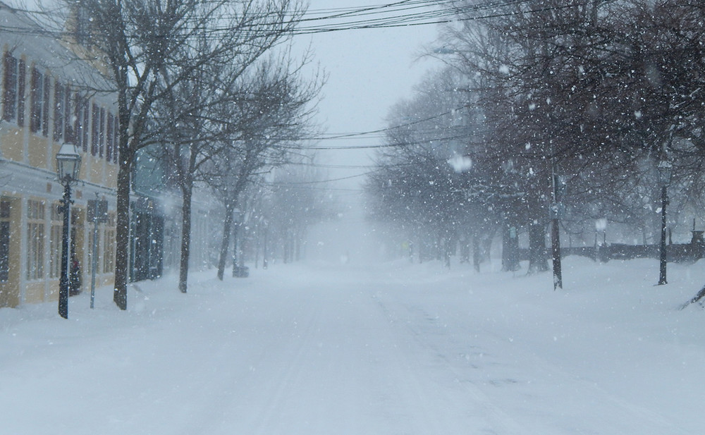
The snow has ended for today, but round two is on the way. The National Weather Service has issued a Winter Storm Warning Friday afternoon, upgrading its previous winter storm watch.
The flakes will start flying again Saturday morning, lasting through the evening, the National Weather Service forecasts. The snow should begin around 11 a.m. Saturday, falling heavily at times and accompanied by wind gusts up to 25 mph. As much as 4-8 inches is expected to pile up during the day, with another 1-3 inches falling Saturday night.
The snow is expected to taper off late Saturday evening, coming to an end around 10 p.m. Temperatures are expected to remain in the low- to mid-20s throughout Friday and Saturday, dropping into the teens Saturday night. The clouds will part Saturday night, opening up sunny skies for Sunday with temperatures in the low 20s.
A winter storm warning is issued when six inches or more of snow is anticipated in a 12-hour period, or eight inches of more in a 24-hour period. The weather services warns that travel will be "slow at best" on treated roads and "quite difficult" on intreated surfaces. The storm warning is in effect from 7 a.m. Saturday until 1 a.m. Sunday.
Keywords
Winter 2017


