

What was Portsmouth like a century ago?
Town historian shares old photos of times gone by
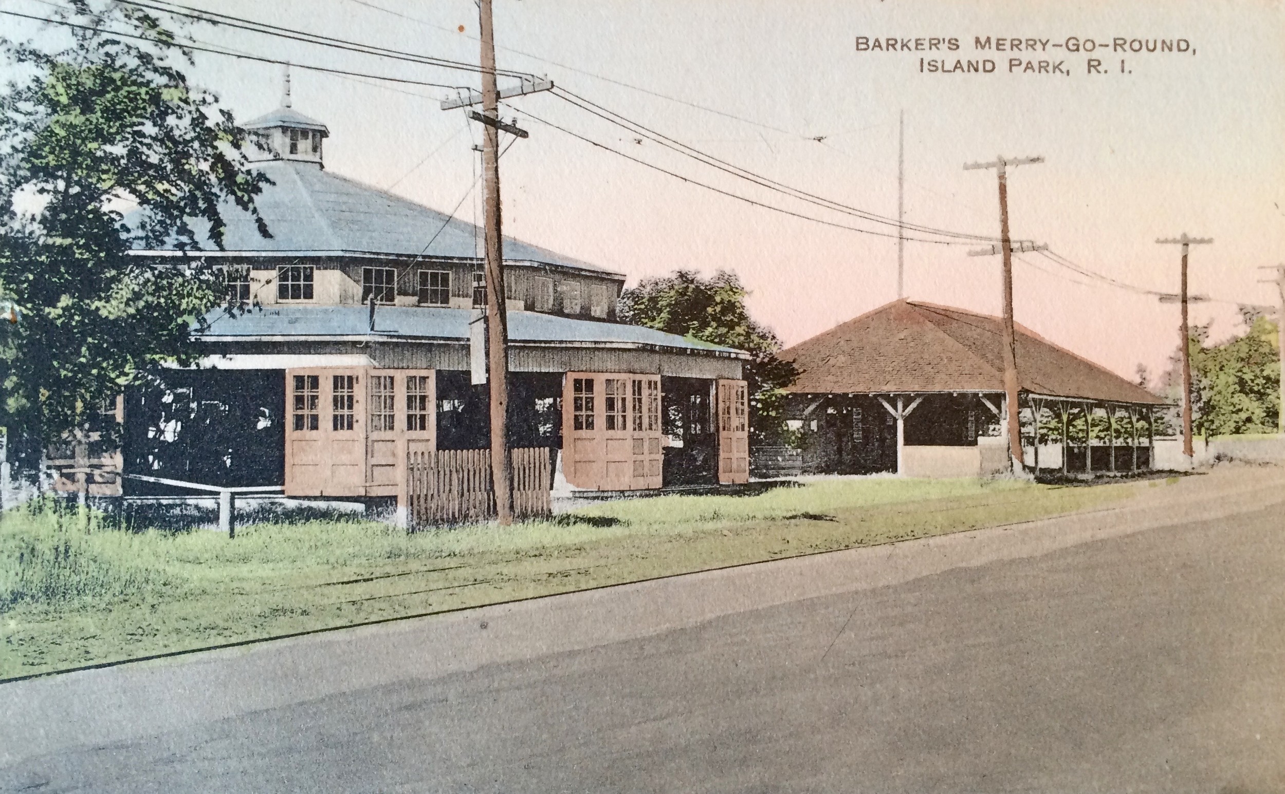


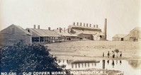

PORTSMOUTH — The copper works, the coal mine, the trolley stops, Bristol Ferry School, Barker’s Merry-go-Round, the fairgrounds and roller rink across from St. Barnabas Church …
They’re all gone now, but thankfully someone behind a camera recorded them for posterity.
Town Historian Jim Garman, who’s also president of the Portsmouth Historical Society, showed dozens of old images from his personal collection during a recent Society-sponsored lecture, “Portsmouth: A Hundred Years Ago,” at the Portsmouth Free Public Library.
It was a very different time, said Mr. Garman. The town’s population 100 years ago was 2,678, compared to 17,349 recorded during the 2010 census.
School revenues were $9,665.11, with expenditures of $9,628.86, he said.
“They had a profit of 36 dollars and 25 cents,” he said, adding there were eight, one-room schoolhouses in Portsmouth at the time — a practice that went until the 1940s — and teachers were paid an average salary of $5,200.
In 1908, he said, “The average tax bill for the individual was somewhere between six and 10 dollars a year.”
Mr. Garman let pictures tell most of the story, however. He relied mainly on the postcard photography of O.E. Dubois. “I have 640 postcards of his in my collection. Most of Dubois’ work was done between 1908 and 1914,” said Mr. Garman, adding that the photographs are exceptionally sharp because they were printed from 5x7-inch negatives.
Among the other images he shared:
• The old trolley lines, which ran along East Main Road starting in 1898 and along West Main Road starting in 1905, were well-documented. White lines on telephone poles designated the trolley stops, “although they would stop anywhere for a fair,” said Mr. Garman. “They were making real money. In 1913 the trolley company out of Newport had about four and a half million passengers. If you were really brave, you could take a trolley from Newport to New Hampshire. It would take you about four and a half hours.” Ridership fell off around 1917 with the advent of cars and buses — the town’s main roads were paved starting around 1921 — and the trolleys went out of business here in 1925, he said.
• The fairgrounds across from St. Barnabas Church on East Main Road. “The county fair was there from 1898 to 1932 and it was a big deal,” said Mr. Garman, before pinpointing the location via Rhode Island directions: “It was where the roller rink used to be.”
• Fort Butts is still with us, but it’s much more overgrown today than in the past. Mr. Garman displayed a dramatic photo of the Revolutionary War fortification with “not a tree on it.”
• A photo from about 1912 depicted a trolley on the former Stone Bridge to test the span’s weight capacity. The bridge linked Tiverton and Portsmouth and could be raised to allow boats to pass. “That was the only bridge off this island. You had to take ferries everywhere else,” Mr. Garman said. The Escape Bridge wasn’t built until after the 1954 Hurricane, “because people were stranded at Island Park,” Mr. Garman said.
• The Island Park amusement park, which the trolley company starting building in 1898 as a way of increasing ridership, was depicted in several photographs. An aerial shot depicted a large dance hall, the “Bullet” rollercoaster, a platform for “diving horses,” kiddie rides, games and more. “It started out as a trolley park but ultimately was owned by the Cashman family,” said Mr. Garman, noting the park came to an untimely end in the 1938 Hurricane. “A 12-foot wall of water came up the river and just devastated all this.”
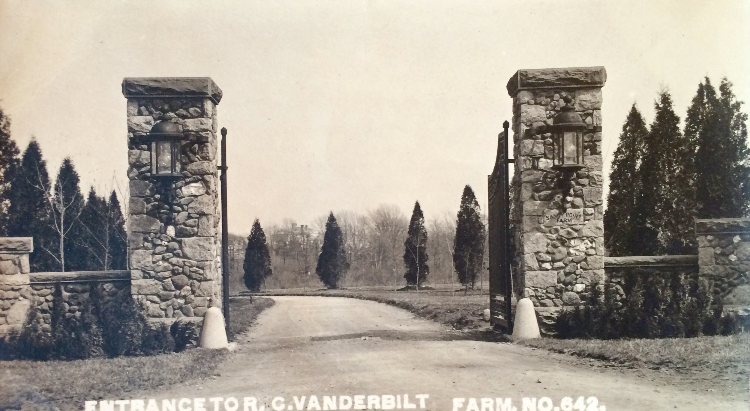
• Another photo showed a freight house on property near the Mt. Hope Bridge, which later was used as a restaurant and recently purchased by the town for preservation as a public waterfront park. “This was a steamboat wharf, not the Bristol Ferry wharf,” said Mr. Garman, noting that the ferry itself was further south, under where the Mt. Hope Bridge is now. The first ferry, a rowboat, dates from 1640. One ferry was powered by two horses walking a treadmill, he said. The Bristol Ferry area was the hub of transportation in Portsmouth, he said. “Farmers would bring their produce there to load on ships.”
Next up: Island Park history in photos
Mr. Garman will present an illustrated lecture on Island Park’s history at 6:30 p.m. on Thursday, Dec. 15, at the Portsmouth Free Public Library.
Mr. Garman will be showing rarely seen photographs of Island Park from his extensive private collection.
This will be the final lecture of the year for the Portsmouth Historical Society and one that will be of interest to both Island Park residents and others curious about Portsmouth’s history.
Mr. Garman’s lectures are usually well-attended, so reserve your seat early by calling the library at 401/683-9457.
The Portsmouth Historical Society Society is a 501(3)c charitable organization and gifts or donations to the Society are tax-deductible. For more information, visit http://portsmouthhistorical.org.
Keywords
Portsmouth Historical Society, Jim Garman, Island Park, Fort Butts, Stone Bridge


